Skip to content
Search
Menu

We earn a commission if you book through this link. You pay the same price.

A flat dirt track running along a dry rocky coastline with steep ridges rising inland
Joel Bradshaw

Nature preserve

Kaʻena Point

Last updated

Five miles on foot along an old railbed to the island's northwestern tip, where albatross nest behind a predator-proof fence.

Photo: Joel BradshawPublic domain

Kaʻena Point is where Oʻahu runs out. The paved road ends on the Mokulēʻia side past Camp Erdman, and it ends again on the leeward side past Keawaʻula, and between those two dead ends sit about five miles of coastline with no road at all. You walk it or you do not see it, and the two halves of the island's western tip have been separated for long enough that plenty of residents have never done the crossing.

The path is an old railbed. The Oʻahu Railway & Land Company ran track around this corner until the 1940s, and the wide, graded, dead-flat surface you are walking on is what it left behind. That flatness is the trap: two and a half miles out feels like nothing, until you are standing at the point at midday with the sun directly overhead, no tree within three miles, and two and a half miles back. There is no shade, no water, no shelter and no facility of any kind on the entire route.

What you get at the end is the Kaʻena Point Natural Area Reserve, and it is the best-restored coastal dune ecosystem on Oʻahu. In 2011 a 650-metre predator-proof fence was built across the neck of the point, sealing 59 acres off from rats, cats, mongooses and dogs. The response was immediate. Mōlī — Laysan albatross — nest inside it, birds with two-metre wingspans that return to the same patch of sand each year, sit on it through the winter, and fledge chicks in early summer. ʻUaʻu kani, wedge-tailed shearwaters, burrow into the dunes in their thousands. Hawaiian monk seals haul out on the rocks. Naupaka and native coastal plants have come back inside the fence that are gone outside it.

It is also a place of great weight in Hawaiian tradition. Kaʻena is a leina a ka ʻuhane — a leaping place, where the souls of the dead departed the world of the living. People still leave offerings here. It is not a picnic spot.

Getting there and parking

On foot only. No road reaches the point, and no road connects the two ends of the trail.

North Shore approach (Mokulēʻia). From Haleʻiwa, take Farrington Highway west through Waialua, past Dillingham Airfield and Camp Erdman, until the pavement ends at a dirt parking area. About twenty-five minutes from Haleʻiwa. From there it is roughly two and a half miles each way to the fence along the old railbed, five miles round trip, mostly flat.

Leeward approach (Keawaʻula / Yokohama Bay). Round the west side through Waiʻanae and Mākaha to where Farrington Highway ends again. Similar walking distance, hotter and drier.

Crossing between them means a car shuffle of nearly two hours by road — back through Haleʻiwa, down the H-2, west on the H-1 and up the leeward coast.

Do not attempt to drive the old road. It is closed to vehicles inside the reserve, the surface beyond the trailheads is unmaintained, and rental agreements generally exclude it.

Allow two and a half to four hours on foot. Start early, carry at least two litres of water per person, and leave nothing in your car at the trailhead — break-ins are a known problem at both ends.
Two trailheads, no road between them

This is the thing to get right before you set off, because getting it wrong costs you a two-hour drive.

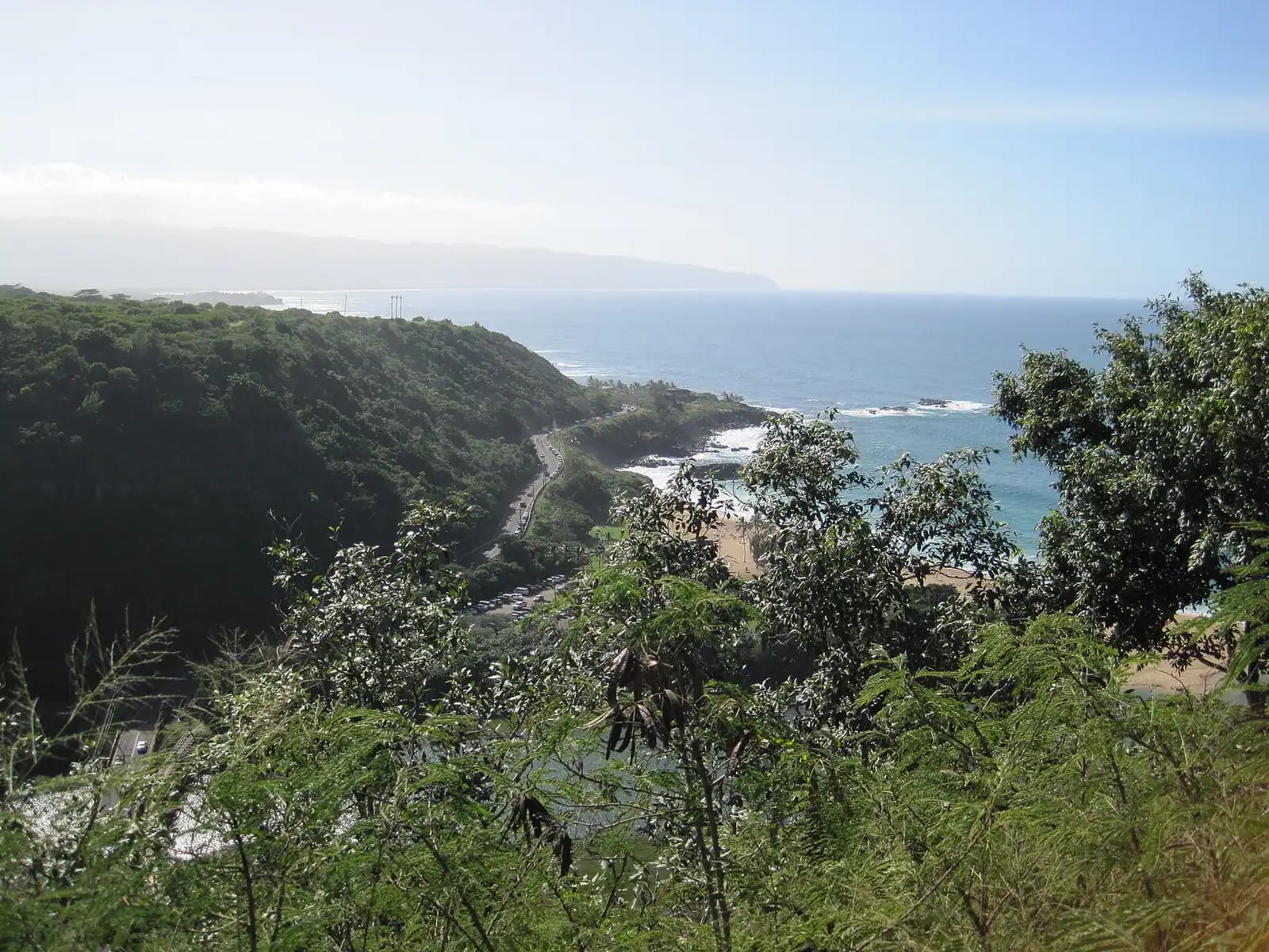
The Mokulēʻia side (north). Drive west from Haleʻiwa on Farrington Highway past Waialua, Dillingham Airfield and Camp Erdman until the tarmac ends at a dirt turnaround. Park there. This is the side a North Shore visitor wants. The walk is about two and a half miles to the fence, mostly along the old railbed with the Waiʻanae ridge on your left and reef on your right.

The Keawaʻula side (west). Drive round the leeward coast through Waiʻanae and Mākaha to Yokohama Bay, where Farrington Highway ends again. Similar distance. Different world — drier, hotter, with the classic west-side afternoon light.

There is no road between them. The old railbed is walkable but not drivable, the gates are locked and the reserve is closed to vehicles. If you walk in from Mokulēʻia and out at Keawaʻula, you need someone to drive round and collect you, and "round" means back through Haleʻiwa, down the H-2, across the H-1 and up the west side. Allow the better part of two hours.

Both trailheads have a reputation for vehicle break-ins. Leave nothing visible, nothing in the boot, and nothing you would mind losing.

The fence, the gate and the birds

At the end of the railbed you reach a fence running right across the neck of the point, about 650 metres of it, built in 2011. It is a predator-proof design: a fine mesh skirt buried in the ground, a curved hood at the top, and a double-door gate. Rats, mice, mongooses, feral cats and dogs cannot get through it, and the recovery of the birds inside is the direct result.

Close the gate behind you. Both doors. Every time. A single rat inside the fence can destroy a season of nesting, and the whole 59 acres depends on people doing one simple thing correctly.

Inside:

  • Stay on the marked trail. The dunes are full of shearwater burrows and they collapse under a footstep with a bird inside.
  • No dogs, ever. Not on a lead, not carried. This is the one rule most visitors break and it is the one that matters most.
  • Do not approach the albatross. Mōlī are large, calm and apparently indifferent to people, which fools visitors into walking up to them. Give them room and stay on the path.
  • Monk seals: NOAA guidance is to stay at least 50 feet away — a different and larger distance than the 10 feet advised for honu at Laniākea. A seal that lifts its head has noticed you and you are too close.
  • Take everything out. There are no bins, because there is no vehicle access.

Albatross season runs roughly November, when adults return, through to fledging in early summer. Shearwaters occupy the burrows through the warmer months. There is something nesting here for most of the year.

Sun, wind, water and the shoreline

People get into trouble here and it is almost always the same trouble: they underestimated a flat walk.

No shade. None. Not one tree for the whole five miles. Midday in summer on the leeward side is genuinely dangerous for anyone unaccustomed to it.

No water. Carry at least two litres per person, more in summer. There is no tap at either trailhead.

Start early. Before eight is sensible; before seven is better. Aim to be back at the car before the sun is overhead.

The shoreline is the real hazard. From roughly November to March this corner takes the full North Pacific swell on one side and west swells on the other, and waves break onto the low rock benches without warning. Waves have swept people off these rocks. Do not walk out onto the wet rock, do not turn your back on the water, and do not attempt to swim anywhere along this coast — there is no lifeguard, no easy exit and no help within an hour.

Wind. Kaʻena funnels it. Hats go over the cliff, and it makes the walk out feel harder than the walk back or the other way round depending on the day.

Footwear. Trail shoes. The railbed is graded but rocky in places and the sand at the end is soft. Slippers are how people finish this walk with blisters.

What is actually out there

The walk itself is half the point. On the Mokulēʻia side the Waiʻanae range drops almost into the sea on your left, dry and corrugated, with the old railway cuttings still visible where it was blasted through. On your right the reef shelf runs out in tidepools and blowholes. In winter you may well see whales offshore; humpbacks are in Hawaiian waters from roughly December to April and this corner of the island puts you close to deep water.

At the point itself, past the fence, the land flattens into a low dune field ending in a rocky tip with a light beacon. From there you can see the coastline running away in both directions and, on a clear day, Kauaʻi about seventy miles across the channel — the only place on Oʻahu where that view is routine.

The dunes inside the fence are the reason to come. The plants are the giveaway: naupaka, ʻāweoweo, pōhinahina and other native coastal species growing thick inside the fence line and sparse outside it, a side-by-side demonstration of what predators and weeds do to a Hawaiian coast.

There is a sea arch and a set of tidepools on the Keawaʻula approach, and a large natural rock formation near the point — Pōhaku o Kauaʻi — which tradition holds is a piece of Kauaʻi torn loose by the demigod Māui's fishhook.

A leaping place

Kaʻena is a leina a ka ʻuhane: in Hawaiian tradition, one of the places where the spirits of the dead leave the world of the living and depart for the ancestral realm. Each island has such a place, and Kaʻena is Oʻahu's. This is not folklore repackaged for visitors. It is a living belief, and offerings are still left at the point.

What that asks of you is straightforward. Do not move, rearrange or photograph offerings you find. Do not build rock stacks — the practice is imported, it is not Hawaiian, and it damages the habitat that the fence exists to protect. Do not take anything from the reserve, including rocks and sand. Keep your voice down at the point itself.

If you visit nowhere else on this coast with an idea of what you are standing on, make it here.

Tours that visit Kaʻena

Operators run these trips past Kaʻena, or stop there as part of a longer route. We list what the booking data supports — not everything that mentions the name.

Some links below go to Viator, our booking partner. We earn a commission on bookings made through them — at no extra cost to you, and with no influence on what we recommend.

  • Oahu: Full or Half Day Grand Circle Island Tour
    Free cancellationInstant confirmation

    Plantation Tours

    Oahu: Full or Half Day Grand Circle Island Tour (opens in a new tab)

    19.5K reviews

    Choose from two exciting ways to experience Oahu's top attractions, scenic beauty, and local culture. Option 1: Dole Plantation & Haleiwa…

    6–7 hours

    Prices checked

    from $100
  • Parasailing Experience in Waikiki, HI
    Free cancellationInstant confirmation

    Low Supplier Cancellation Rate

    Parasailing Experience in Waikiki, HI (opens in a new tab)

    8.9K reviews

    Experience the thrill of Oahu parasailing on this unforgettable 1-hour adventure from Waikiki. Soar up to 1,000 feet above the stunning…

    1 hour

    Prices checked

    from $44
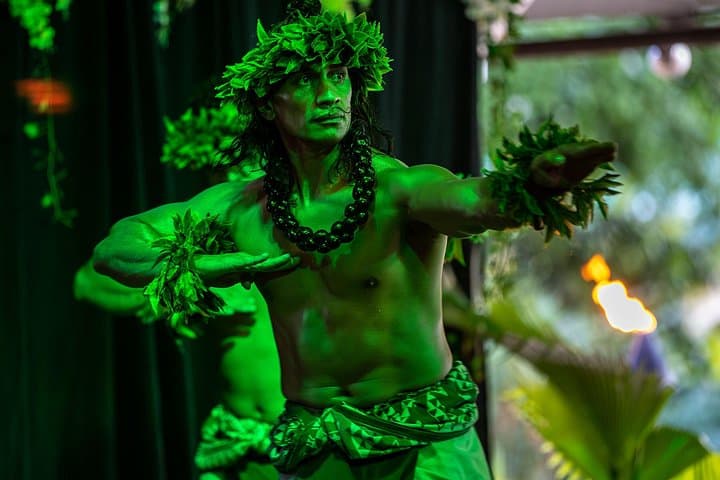
  • Roland dancing Hawaiian Kahiko
    Free cancellationLikely to sell out

    Curated Catalog

    Toa Luau at Waimea Valley, Oahu (opens in a new tab)

    3.8K reviews

    Toa Luau invites you to immerse yourself in the beauty and excitement of Polynesia on Oahu’s historic North Shore! Book any one our 3 Luau…

    3 hours

    Prices checked

    from $145
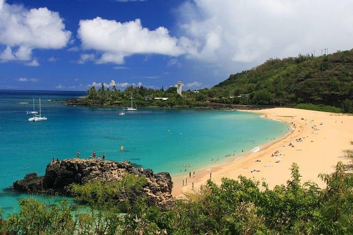
  • WAIMEA BAY
    Free cancellationInstant confirmation

    Low Supplier Cancellation Rate

    Oahu: Grand Tour Around Island with Snorkeling (opens in a new tab)

    11.1K reviews

    Come join on a circle island adventure led by some of Hawaii’s most knowledgeable local guides and experience breathtaking lookouts to…

    Full day

    Prices checked

    from $89

Near Kaʻena

Straight-line distances, so allow more on the road — the island is long and has one main parkway.

  • A long empty beach backed by ironwood trees with a mountain ridge rising behind
    Free

    Beach

    Mokulēʻia Beach

    Six miles of mostly empty sand west of Haleʻiwa, where the trades blow hardest and almost nobody stops.

    1–3 hoursFree. County beach park with a small free lot; roadside parking elsewhere.8.5 mi away

  • A glider on a single runway airstrip with a steep mountain ridge rising directly behind it

    Landmark

    Dillingham Airfield

    The only field on Oʻahu that can run skydiving, on a strip of Mokulēʻia coast with a mountain ridge making the lift.

    2–4 hoursThere is nothing to buy admission to. You pay an operator for a tandem skydive or a glider flight; tandem jumps are a substantial per-person cost, glider rides typically less.5.5 mi away

  • A disused sugar mill with a tall brick smokestack and corrugated iron buildings under blue sky
    Free

    Neighbourhood

    Waialua

    A plantation town that lost its mill in 1996 and turned the tower into a soap factory, two miles and one world from Haleʻiwa.

    1–2 hoursFree. There is no gate, no ticket and no charge to walk the mill yard.9.8 mi away

  • Low wooden plantation-era storefronts along a single main street with mountains behind
    Free

    Neighbourhood

    Haleʻiwa Town

    The coast's only real town, and the traffic jam that decides your whole day. Shave ice, surf shops, galleries, and everything shut by nine.

    1–3 hoursFree to visit. Parking is free in the shop lots and on the street.11.6 mi away

Kaʻena: common questions

How long is the Kaʻena Point hike?

About five miles round trip from either trailhead — roughly two and a half miles each way — along a flat old railbed. Allow two and a half to four hours including time at the point. The flatness is deceptive: there is no shade on any part of the route, no water at either trailhead and no shelter, so the walk back in the middle of the day is where people get into trouble. Start early.

Can you drive to Kaʻena Point?

No. The paved road ends at Mokulēʻia on the north side and at Keawaʻula on the leeward side, and no road connects the two. The old railbed between them is closed to vehicles inside the Natural Area Reserve. If you walk across and out the far side you need a driver to loop round by road, which takes the better part of two hours via Haleʻiwa, the H-2 and the leeward coast.

When can you see albatross at Kaʻena Point?

Roughly November through early summer. Mōlī, Laysan albatross, return to the reserve to nest from about November, sit on eggs and chicks through the winter, and the chicks fledge in early summer — so December to June is the reliable window. They nest inside a predator-proof fence built in 2011 that encloses 59 acres. Stay on the marked trail, give the birds room, and close both gate doors behind you.

Are dogs allowed at Kaʻena Point?

No, under any circumstances. Not on a lead, not carried, not in a bag. Kaʻena Point Natural Area Reserve is enclosed by a predator-proof fence specifically to keep dogs, cats, mongooses and rats away from nesting seabirds, and ground-nesting albatross and burrowing shearwaters have no defence against a dog. It is the single most-broken rule in the reserve and the one with the worst consequences.

Is Kaʻena Point safe in winter?

The trail is; the shoreline is not. From roughly November to March this corner takes the full North Pacific swell, and waves break onto the low rock benches with no warning and have swept people off them. Stay well back from wet rock, never turn your back on the ocean, and do not swim anywhere along this coast — there is no lifeguard and no help within an hour. The walk itself is fine in winter, and cooler.