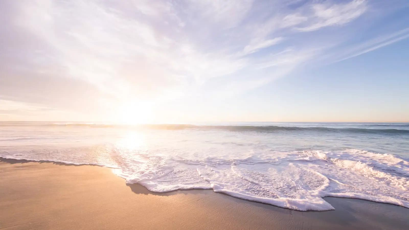
This is the day that actually disrupts a North Shore trip, and it usually looks beautiful.
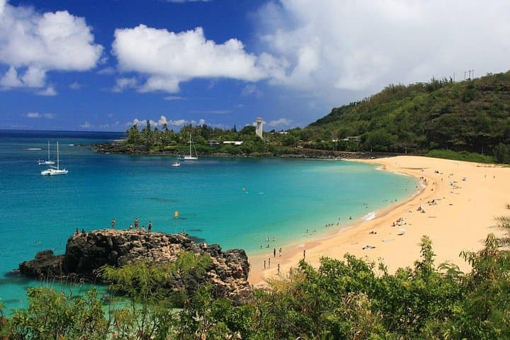
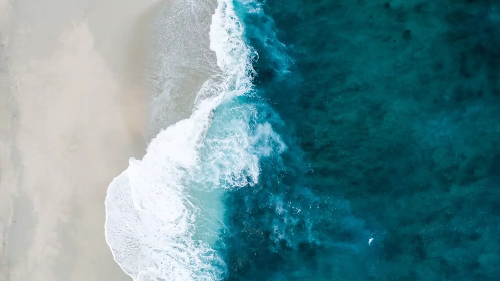
From roughly November to March, north swell arrives in pulses that build over a day and run for two or three. When it does, Honolulu Ocean Safety closes beaches and flies red flags, and the water at Waimea, Ehukai, Sunset and Pūpūkea is simply not available. Shark's Cove, which is shallow, sheltered snorkelling in August, is a place people are swept off the rock ledge in January. The Waimea shorebreak breaks adult collarbones in water you can stand up in. None of this is weather in the sense a forecast app means it.
Red flags and closures are not advice. If lifeguards have shut the beach, the answer is no, and the tower will tell you plainly if you ask.
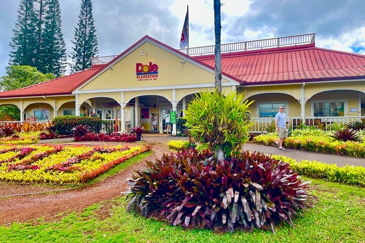
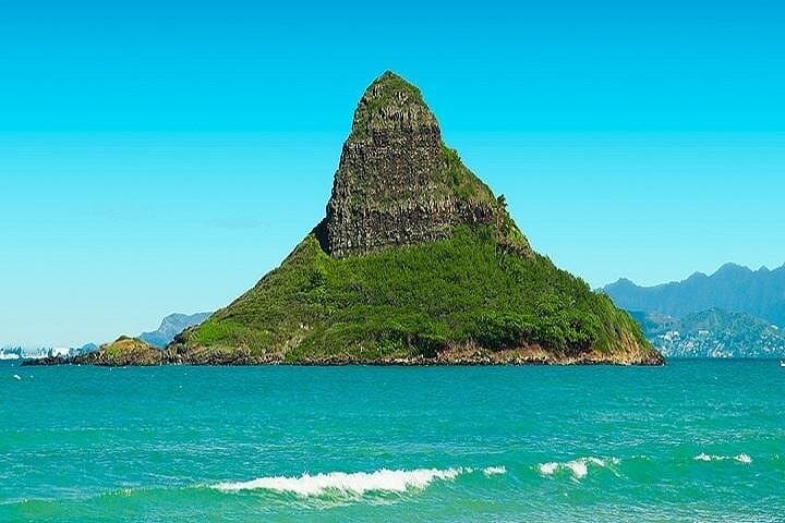
What to do instead. Waimea Valley. The Polynesian Cultural Center. The heiau. Haleʻiwa town. The Kahuku trucks. Kualoa Ranch down the windward road. Dole Plantation on the way home. And the thing most people end up doing, which is standing on the sand for two hours watching the ocean do something they have never seen before.
Where you can still swim. The sheltered coves beside Turtle Bay at the northeastern corner, the protected end of Kawela Bay, and Mālaekahana near Lāʻie are the realistic options, and even those depend on the day. Otherwise the south shore is on the other side of the island's swell window and is frequently calm on the same day.
How to see it coming. Read a surf forecast for the north shore of Oʻahu the evening before. Big swells are called days out. In winter that forecast tells you whether the beaches will be open at all, which makes it more useful than any weather forecast you could read.