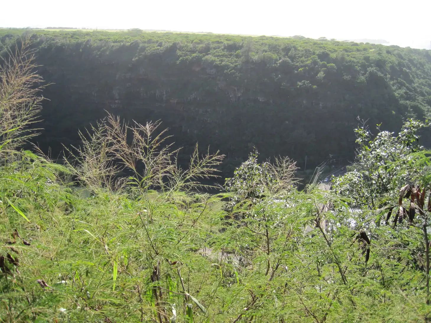
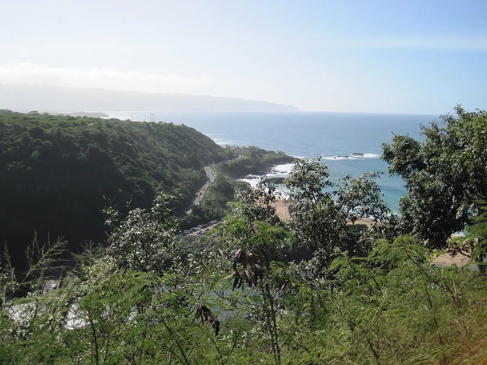
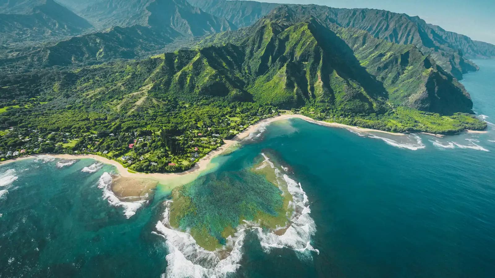
The North Shore's hiking is not the Koʻolau's. There are no green cathedral valleys with a waterfall at the back of them here, no Mānoa Falls queue, no ridge trails running for miles above Honolulu. What this end of Oʻahu has instead is edge: a coastline that simply stops, a forest reserve on a red clay plateau above Waimea, and a handful of short, steep climbs that put you high enough to look straight down onto a surf break.
Start with the geography, because it explains everything else. Kamehameha Highway runs the coast from Kahuku round to Haleʻiwa, then Farrington Highway carries on west through Mokulēʻia and ends at a gate. Beyond that gate is Kaʻena Point, the island's northwestern tip, and there is no road round it — the Waiʻanae coast on the far side is reachable only by driving most of the way back to Honolulu. The old Oʻahu Railway line used to run that way. The track bed is now the trail.
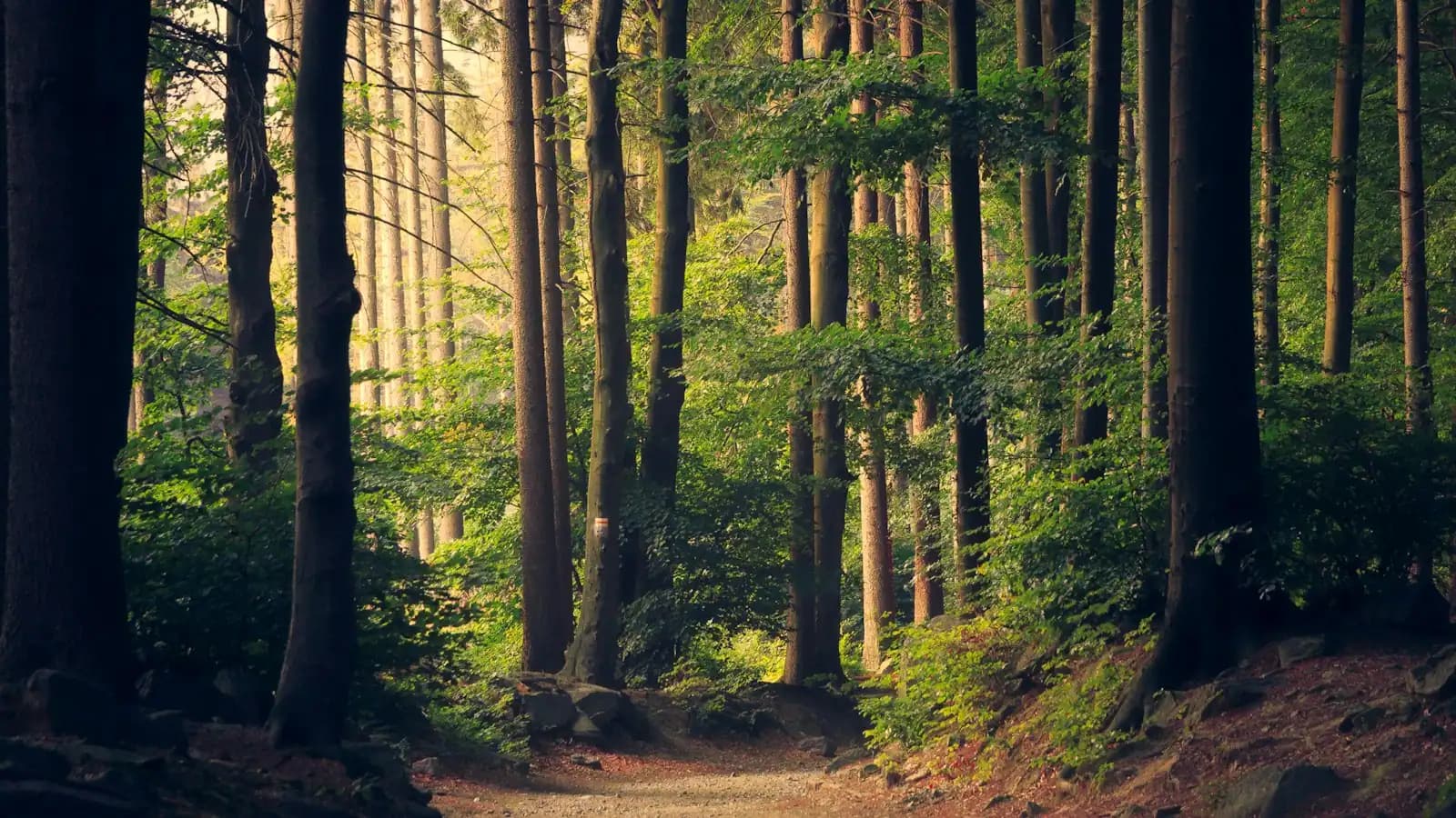
Inland, things climb. Pūpūkea Road switchbacks up from the Foodland at the Waimea junction to a plateau around 1,000 feet, where Puʻu o Mahuka Heiau sits looking down over the bay. Past it, the Kaunala Trail loops roughly five miles through Cook pine, ironwood and guava in the Pūpūkea Forest Reserve. That one comes with a caveat visitors regularly miss: it borders military land and has long been open to the public only at weekends and on holidays. Check the state's Nā Ala Hele listing before you drive up, not a blog post from four years ago.
The rest are short and sharp. The ʻEhukai Pillbox Trail — locals mostly call them the Sunset pillboxes — starts behind Sunset Beach Elementary School, across the highway from ʻEhukai Beach Park, and climbs twenty to thirty minutes on roots, red mud and a couple of fixed ropes to a pair of World War II observation bunkers. The view drops straight down onto the Banzai Pipeline. In December, when the contest season is running, it is the best free seat in surfing. Further west, the Kealia Trail switchbacks up the cliff behind Kawaihāpai Airfield at Mokulēʻia and carries on into the Kuaokalā country above.
Two conditions govern all of it. The first is water. Winter rain turns this coast's red clay into something that behaves like grease, and the streams that look photogenic afterwards run fast and carry leptospirosis. The second is shade, or the total absence of it. Kaʻena Point has none across five miles. Neither does the Kealia switchback. People get into difficulty at this end of the island on walks that looked short on a map, started at two in the afternoon, with one bottle of water between them.