Plantation Tours
Oahu: Full or Half Day Grand Circle Island Tour (opens in a new tab)
Choose from two exciting ways to experience Oahu's top attractions, scenic beauty, and local culture. Option 1: Dole Plantation & Haleiwa…
6–7 hours
Prices checked

Beach
Last updated
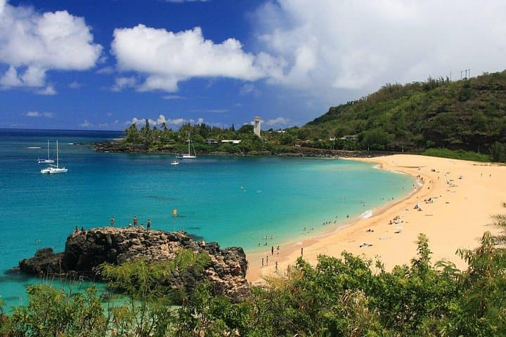
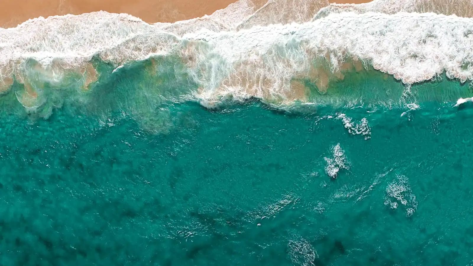
Six miles of mostly empty sand west of Haleʻiwa, where the trades blow hardest and almost nobody stops.
Photo: UnsplashUnsplash License
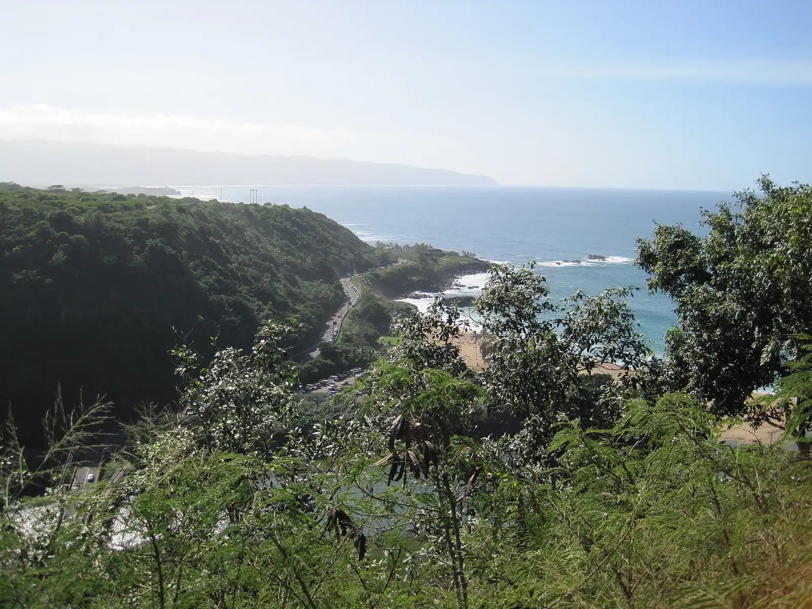
Everything the North Shore is famous for happens east of Haleʻiwa. Mokulēʻia is the other direction, and it is the reason to have a car. Turn left instead of right at Haleʻiwa and Farrington Highway runs west along a strip of coast with a reef shelf on one side and the Waiʻanae range rising on the other, past a sugar town, an airfield, a polo field and a YMCA camp, until the tarmac simply stops at the Kaʻena Point trailhead. There is no shop, no hotel and no surf contest along the whole stretch.
What you get is space. On a January weekend when the Waimea lot has been full since seven and Laniākea has a line of cars parked on the shoulder, you can stand on Mokulēʻia sand and count the other people on one hand. The beach is not one beach but a long, interrupted run of sand and limestone, with Mokulēʻia Beach Park as the county access roughly in the middle and a dozen unmarked pull-offs either side of it.
What you do not get is safe swimming as a default. A shallow reef shelf runs along most of this shore, sharp, exposed at low water, and cut by channels that move water fast. There is no continuous lifeguard cover — do not plan on finding a tower — and the beach directly opposite Dillingham Airfield, still called Mokulēʻia Army Beach, has been unmaintained and unguarded for decades despite being one of the widest stretches of sand on the island. In summer, when the north swell is gone, there are calm sandy pockets here that are genuinely lovely. In winter this is an exposed north-facing coast taking the same swell as Waimea, without the lifeguards.
The wind is the other constant. Mokulēʻia sits where the trades accelerate round the shoulder of the Waiʻanae range, which is why this is the kitesurfing and windsurfing end of the North Shore and why the gliders fly out of Dillingham. It is also why your umbrella will not survive the afternoon.
From Haleʻiwa, cross the Anahulu bridge and turn west rather than east — Kamehameha Highway becomes Farrington Highway past Waialua. The road then runs along the coast for about six miles before ending at the dirt lot for the Kaʻena Point trail.
Mokulēʻia Beach Park is roughly fifteen minutes from Haleʻiwa and is the only access with a proper lot, restrooms and picnic tables. Everything else is roadside parking on the shoulder or short unmarked sand lanes through the ironwoods — pull fully off the tarmac, because this is a fast two-lane road with no hard shoulder in places.
From Waikīkī, allow about an hour: H-1 to H-2 north, down through Wahiawā, past Dole Plantation, into Haleʻiwa, then west. Adding Mokulēʻia to a North Shore day costs you thirty minutes of driving and takes you away from every other attraction on this coast, which is precisely the trade you are making.
TheBus service west of Haleʻiwa is sparse. Treat this as a car trip.
Leave nothing in the vehicle at any of the unattended pull-offs.
The whole coast from Haleʻiwa to the road's end is roughly six miles, and the pull-offs are not signposted in any useful way. Working west:
None of these have a shop. The last groceries are in Waialua and Haleʻiwa. Fill the car and the water bottles before you turn west.
The short version: summer yes, with care and local knowledge of your chosen spot; winter no.
The reef. A shallow limestone shelf fringes most of this coast. At low water it is exposed and sharp, and a fall on it opens skin badly. Reef shoes are not optional if you are getting in.
The channels. Where the shelf is cut, water leaving the reef moves fast and seaward. These are the sandy-looking gaps that read as the safe entry and are not.
The lifeguards. Cover along Mokulēʻia is thin and not continuous, and Army Beach has none at all. Do not plan a swim on the assumption a tower will be staffed. If nobody else is in the water on a beautiful day, there is a reason, and the reason is usually the current.
The season. From roughly November to March this is a north-facing coast taking the same North Pacific swell that closes Waimea. Waves here break over reef rather than a sand bar, which makes them less photogenic and no less dangerous. From roughly May to September the swell switches to the south side of the island and Mokulēʻia goes quiet, and that is the window when the sandy pockets are swimmable.
Portuguese man o' war get blown onto this shore on strong trade days. Blue, small, and they sting after they are dead.
If you want reliably supervised swimming on this coast, drive back to Haleʻiwa Aliʻi Beach Park or Haleʻiwa Beach Park, both of which have towers.
Mokulēʻia is the windiest accessible stretch of the North Shore, and it is not an accident of weather. The northeast trades run down the coast and compress against the shoulder of the Waiʻanae range before spilling round Kaʻena, which gives this stretch a reliable, strong, side-on wind for much of the year.
Three consequences you can see from the road.
Kitesurfing and windsurfing. The stretch either side of the beach park is a long-standing kite and windsurf spot, busiest in the afternoon when the trades fill in. Watch from the shoulder; do not walk through a rigged kite's downwind zone.
Gliders and skydivers. Dillingham Airfield sits directly behind the beach, and the same ridge that squeezes the wind produces lift along the Waiʻanae face. Sailplanes work that ridge most afternoons, and tandem skydivers come down over the field. Looking up is part of the visit here.
Polo. The Honolulu Polo Club's field sits between the highway and the mountains, and matches run on Sunday afternoons during a season that falls in the warmer half of the year. It is informal, cheap and unlike anything else on this coast — but the season and the schedule change, so check before driving out for it.
For a beachgoer, the wind mostly means: bring a weighted-down towel, forget the umbrella, and expect sand in your lunch.
The nearest real food is Waialua or Haleʻiwa, both about fifteen minutes back east, and both of which close earlier than visitors expect.
Operators run these trips past Mokulēʻia, or stop there as part of a longer route. We list what the booking data supports — not everything that mentions the name.
Some links below go to Viator, our booking partner. We earn a commission on bookings made through them — at no extra cost to you, and with no influence on what we recommend.

Plantation Tours
Choose from two exciting ways to experience Oahu's top attractions, scenic beauty, and local culture. Option 1: Dole Plantation & Haleiwa…
6–7 hours
Prices checked

Low Supplier Cancellation Rate
Experience the thrill of Oahu parasailing on this unforgettable 1-hour adventure from Waikiki. Soar up to 1,000 feet above the stunning…
1 hour
Prices checked

Curated Catalog
Toa Luau invites you to immerse yourself in the beauty and excitement of Polynesia on Oahu’s historic North Shore! Book any one our 3 Luau…
3 hours
Prices checked

Snorkeling
Book our Turtle Canyon snorkel tour and experience one of Waikiki’s most popular turtle snorkeling destinations! Depart conveniently by…
2 hours
Prices checked

Low Supplier Cancellation Rate
Come join on a circle island adventure led by some of Hawaii’s most knowledgeable local guides and experience breathtaking lookouts to…
Full day
Prices checked

Culture
Step into the vibrant heart of Hawai‘i and experience a luau like no other—where culture, history, and celebration come alive under the…
4 hours
Prices checked
Straight-line distances, so allow more on the road — the island is long and has one main parkway.

Landmark
The only field on Oʻahu that can run skydiving, on a strip of Mokulēʻia coast with a mountain ridge making the lift.
2–4 hoursThere is nothing to buy admission to. You pay an operator for a tandem skydive or a glider flight; tandem jumps are a substantial per-person cost, glider rides typically less.3.1 mi away

Nature preserve
Five miles on foot along an old railbed to the island's northwestern tip, where albatross nest behind a predator-proof fence.
2.5–4 hoursFree. No permit required for day hiking to the point from either trailhead.8.5 mi away

Neighbourhood
A plantation town that lost its mill in 1996 and turned the tower into a soap factory, two miles and one world from Haleʻiwa.
1–2 hoursFree. There is no gate, no ticket and no charge to walk the mill yard.1.3 mi away

Neighbourhood
The coast's only real town, and the traffic jam that decides your whole day. Shave ice, surf shops, galleries, and everything shut by nine.
1–3 hoursFree to visit. Parking is free in the shop lots and on the street.3.1 mi away
Where this place fits into a day, and the pages that plan one.

Guide hub
The North Shore is roughly thirty miles of coast along the top edge of Oʻahu, from the polo fields and the airfield at Mokulēʻia, round Kahuku…

Guide hub
The North Shore's named places are almost all natural, almost all free, and almost all strung in a line along one road. There is no historic…

Guide hub
Seven miles of sand run from Haleʻiwa town to Sunset Point, and a single two-lane road threads the whole of it. Kamehameha Highway is the North…

Budget
Most destinations make you hunt for the free things. On the North Shore you have to hunt for the paid ones. There are four ticketed gates on this…

Things to do
Start with what this coast is not. The photograph you have seen of turquoise water and two green islets is Kailua, on the windward side, roughly an…

Guide
One large resort, a thin and legally complicated rental market, two campgrounds and a coast where dinner stops at seven. Staying up here is a decision, not a default.
9 min readNalani Kahale

Guide
About a hundred miles, three and a half hours of driving and no road around Kaʻena Point. Which direction you choose decides which side of the car the ocean is on.
9 min readNalani Kahale
In summer, in the sandy pockets, with care. From roughly May to September the north swell disappears and parts of this coast are calm. From November to March it takes the same North Pacific swell that closes Waimea, breaking over a shallow reef shelf. Lifeguard cover along Mokulēʻia is thin and not continuous, and Mokulēʻia Army Beach has none at all. Wear reef shoes, and if nobody else is in the water on a good day, there is a reason.
The northeast trades run down the coast and compress against the shoulder of the Waiʻanae range before spilling round Kaʻena Point, which gives this stretch a strong, reliable side-on wind for much of the year. That is why the kitesurfers and windsurfers are here, why gliders work the ridge lift out of Dillingham Airfield next door, and why a beach umbrella at Mokulēʻia is a donation to the ocean.
No. There is no shop, café or petrol station between Waialua and the end of the road six miles west. The nearest food is Waialua town or Haleʻiwa, both about fifteen minutes back east, and both of which close earlier than most visitors expect — Haleʻiwa's kitchens start shutting in the early evening. Buy water, lunch and fuel before you turn west.
Papaʻiloa Beach, reached down unmarked lanes through the ironwoods and often called Police Beach, served as the survivors' beach camp in Lost. Camp Erdman further west was used for the Others' barracks in the same series. Neither is signposted and neither has facilities, so treat them as quiet beach stops rather than as a filming-location tour.
Yes, seasonally. The Honolulu Polo Club's field sits between Farrington Highway and the mountains, and matches are played on Sunday afternoons during a season that falls in the warmer half of the year. It is informal and inexpensive by the standards of the sport. The season dates and fixtures change, so check the club's own schedule rather than driving out and hoping.