All of Oʻahu's commercial tandem skydiving happens at one place, and it is not near Waikīkī. Drive west out of Haleʻiwa on Farrington Highway, past Waialua and the old mill, along a strip of coast where the Waiʻanae range comes down almost to the water, and after fifteen or twenty minutes you reach a flat apron of runway at Mokulēʻia. This is Kawaihāpai Airfield, which nearly everyone still calls Dillingham. It is a Second World War field, it is shared between general aviation, glider operations, the Army and the skydiving businesses, and it is the only drop zone on this island.
That geography is the whole planning problem. From Waikīkī it is roughly an hour and fifteen minutes each way, more if Kamehameha Highway through Haleʻiwa is backed up, and you are driving to a place with no town attached to it. A jump is perhaps fifteen minutes of activity inside a half-day commitment, and if the weather turns while you are in the queue, that half day becomes a drive home with nothing to show for it. People who have jumped here almost universally give the same advice: take the first slot of the morning.
The reason is meteorological rather than commercial. Mokulēʻia sits in the lee of Kaʻena Point, where the trade winds accelerate round the end of the island, and the cloud base over the Waiʻanae range builds through the day. Mornings are typically calmer and clearer; afternoons bring wind holds and weather bumps. Operators here will stand a load down rather than fly it, which is what you want them to do, but it means the later your slot, the higher your chance of being rescheduled. Book the first load, and if you can, book a day with slack behind it.
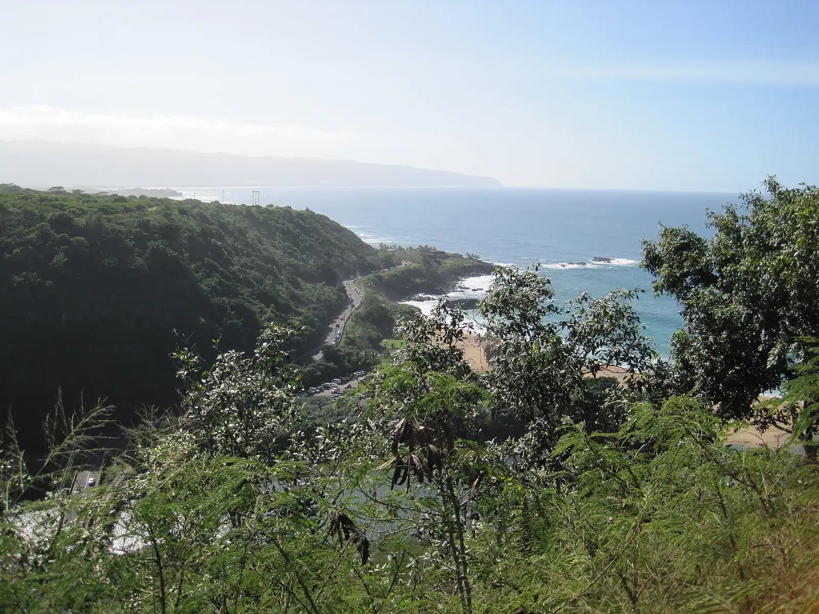
What you get for the drive is a specific view that no other drop zone in the state offers. Exit altitude is generally somewhere between 8,000 and 14,000 feet depending on the operator and the package, giving somewhere between about thirty and sixty seconds of freefall. Below you is the Mokulēʻia reef, the green corridor between the mountains and the sea, the whole North Shore coastline running east toward Waimea and Sunset, and — on a clear morning — Kaʻena Point at the island's northwestern tip with the surf breaking on both sides of it. That is the sales pitch and, unusually, it is accurate.
One caveat to carry through the whole page: this airfield's future has been publicly uncertain for years, with the lease between the state and the Army repeatedly in dispute and operations continuing under short-term arrangements. Jumping has gone on throughout. But confirm your operator is flying before you drive out, and treat any date more than a season away as provisional.