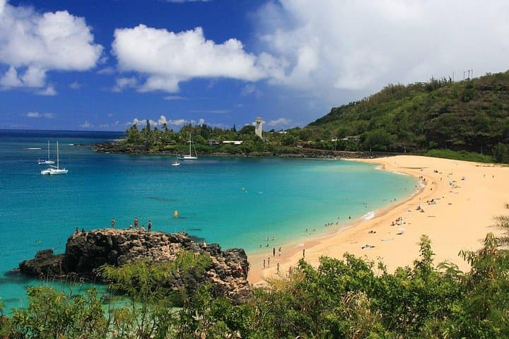
Seven miles of sand run from Haleʻiwa town to Sunset Point, and a single two-lane road threads the whole of it. Kamehameha Highway is the North Shore's only artery, the beaches hang off it like rooms off a corridor, and almost every one of them has a small gravel lot, a crossing point and no second option when that lot is full. Surfers named this stretch the Seven Mile Miracle because of what the reefs do to a winter swell. For everyone else it means the beaches are close enough together to visit four in a day, and close enough together that the traffic on the highway is the thing that decides how many you actually see.
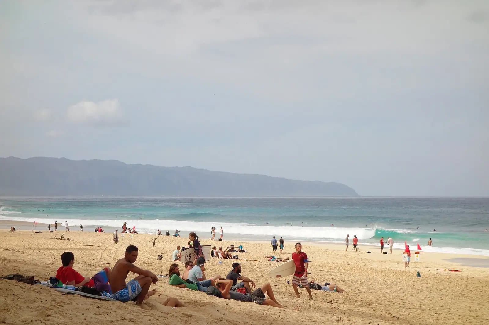
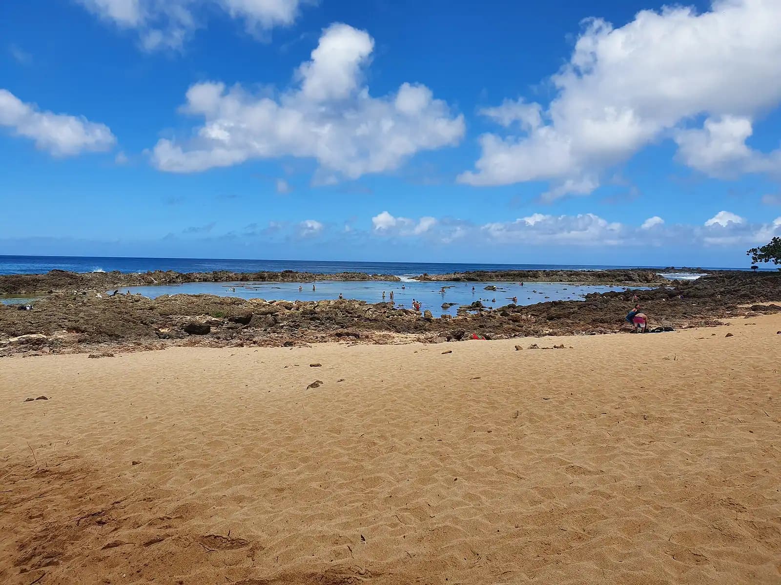
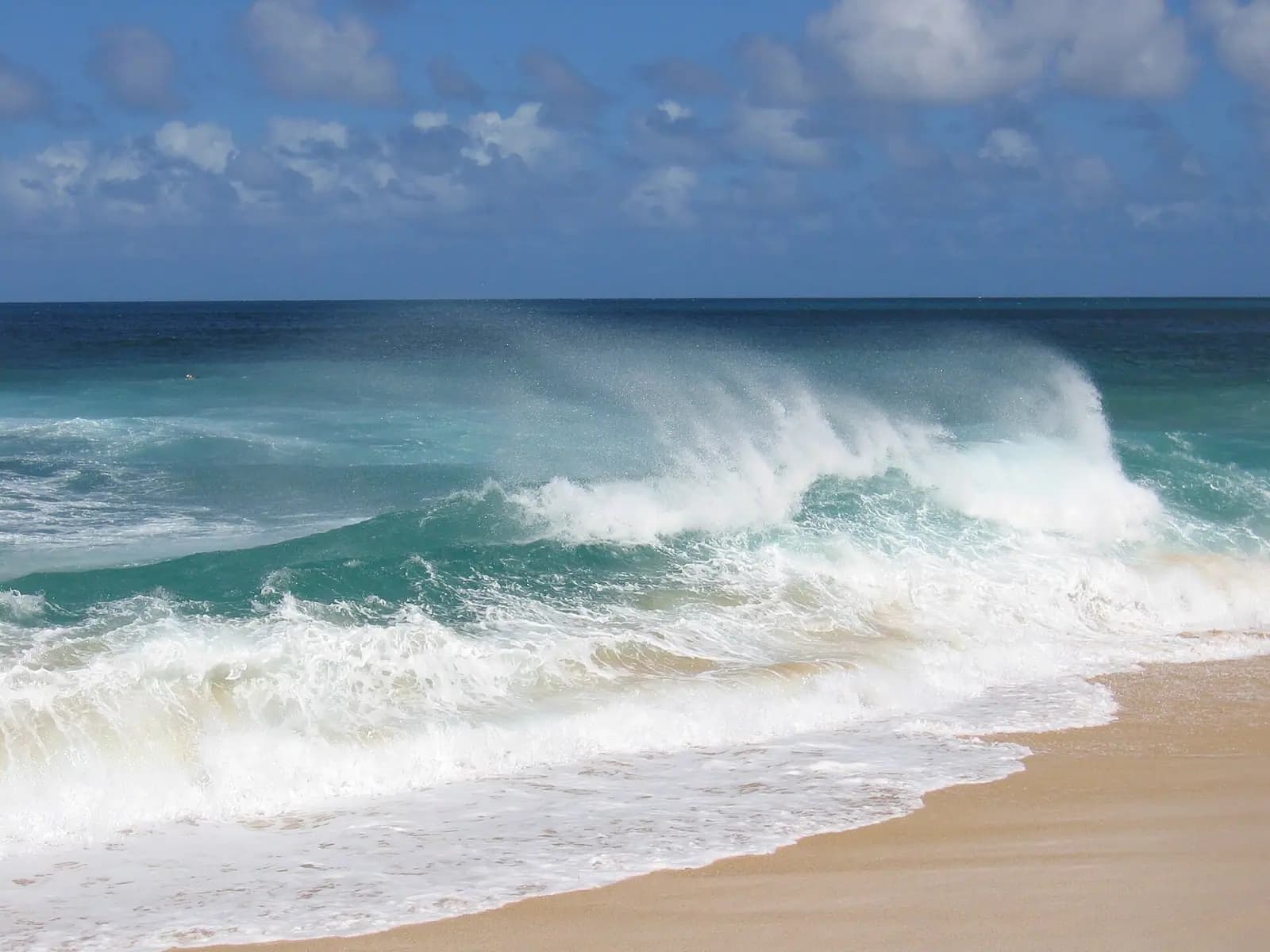
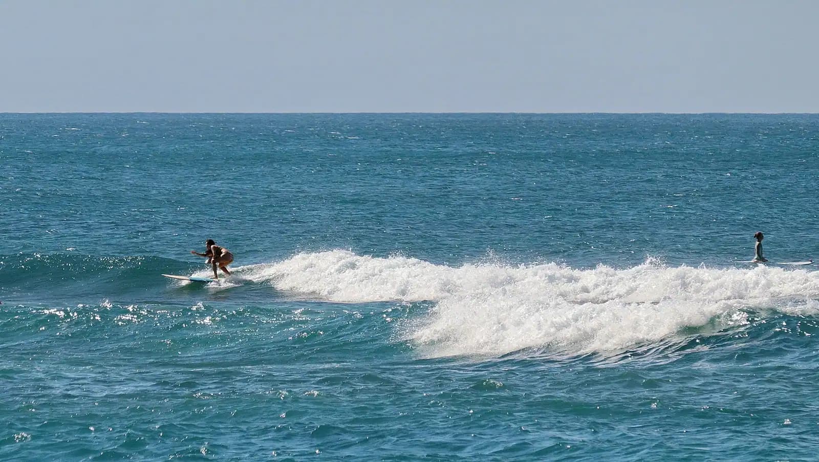
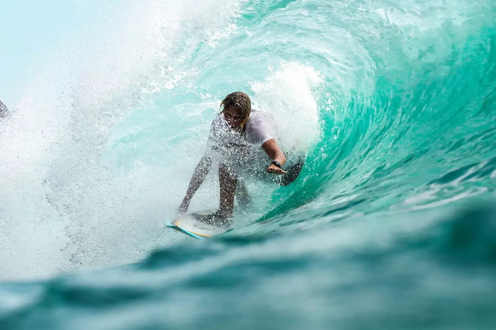
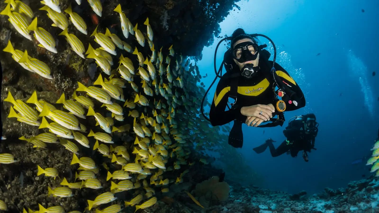
The season is not a detail here. It is the entire brief. Between roughly November and March, storms spinning across the North Pacific push swell onto a coastline with almost nothing between it and Alaska, and the reefs at Waimea, Pipeline and Sunset stand it up into faces of twenty to thirty feet and more. Honolulu Ocean Safety closes water access, draws a yellow line across the sand at Waimea Bay to keep people back from the shorebreak, and spends the winter pulling visitors out of water they should never have entered. In one recent winter, five people drowned along the unguarded stretch between Three Tables and Ke Iki alone. From roughly May to September the same coast goes quiet: Waimea flattens into a deep clear swimming bay, Shark's Cove turns into the best shore snorkel on the island, and the shorebreak that snapped necks in January is ankle-high.
That flip is why a beach list written for July is dangerous in December, and why the useful question is never "which is the best beach" but "which beach is safe today." Lifeguard towers are the shortcut. Waimea Bay, Ehukai Beach Park, Sunset Beach and Haleʻiwa Aliʻi are the reliably staffed ones; long stretches either side of Pūpūkea are not, and Ocean Safety has been blunt about staffing gaps leaving towers dark from Mokulēʻia to Kāneʻohe. If the flags are up, the tower is closed or a lifeguard tells you no, that is the whole conversation. The local phrasing is worth borrowing: when in doubt, don't go out.
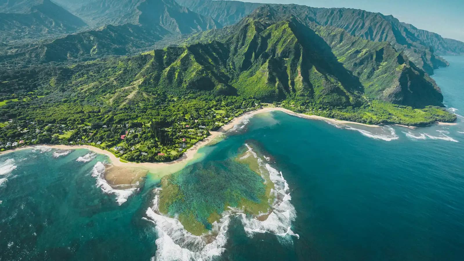
Geography sorts the rest. The western end, out past Waialua to Mokulēʻia, is wide, windy, largely empty and backed by the Waiʻanae range, with the road simply stopping short of Kaʻena Point — no road connects the two sides of that headland, and the reserve beyond is a walk-in albatross colony. The middle is the busy part: Haleʻiwa's harbour and shave ice, Laniākea where the honu haul out, Waimea Bay and the valley across the road, and the Pūpūkea reef flats. The eastern end runs past Ehukai and Sunset to Turtle Bay, the only large resort up here, and then on to the Kahuku shrimp trucks and the long empty sand at Malaekahana.
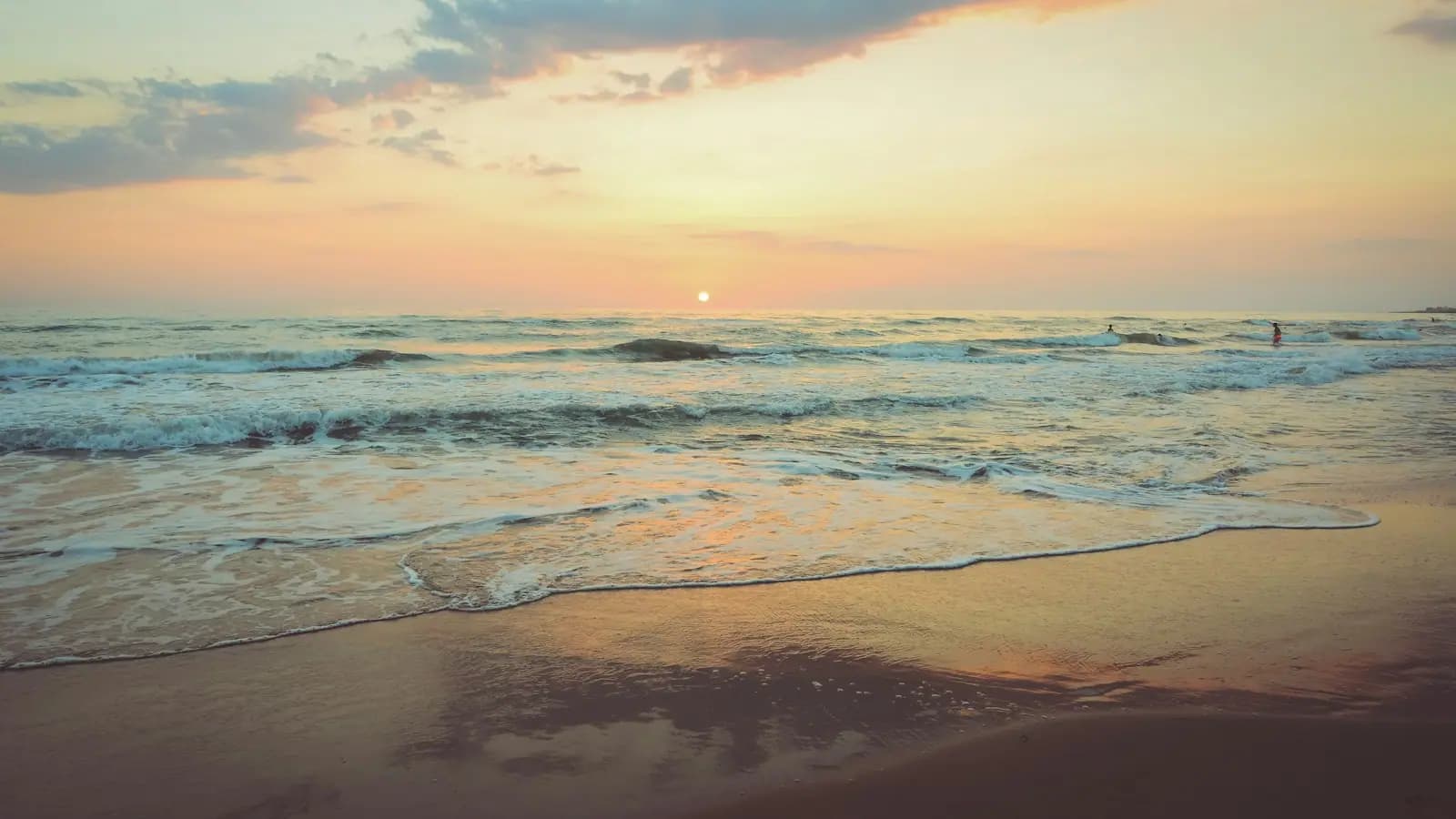
One practical rhythm to plan around. The North Shore eats early and shuts early. Food trucks and shave ice windows wind down not long after sunset, the last shops in Haleʻiwa close before many visitors have finished at the beach, and there is no late-night version of this coast. Come early for parking, swim in the middle of the day, eat at five, and watch the sun go down over the water from the west-facing sand near Haleʻiwa rather than driving back in the dark hungry.