Plantation Tours
Oahu: Full or Half Day Grand Circle Island Tour (opens in a new tab)
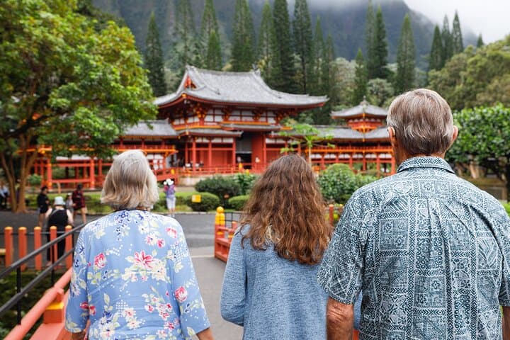
Choose from two exciting ways to experience Oahu's top attractions, scenic beauty, and local culture. Option 1: Dole Plantation & Haleiwa…
6–7 hours
Prices checked

Historic site
Last updated
The largest heiau on Oʻahu, on the bluff above Waimea Bay. A sacred site that is still in use, not a lookout with a car park.
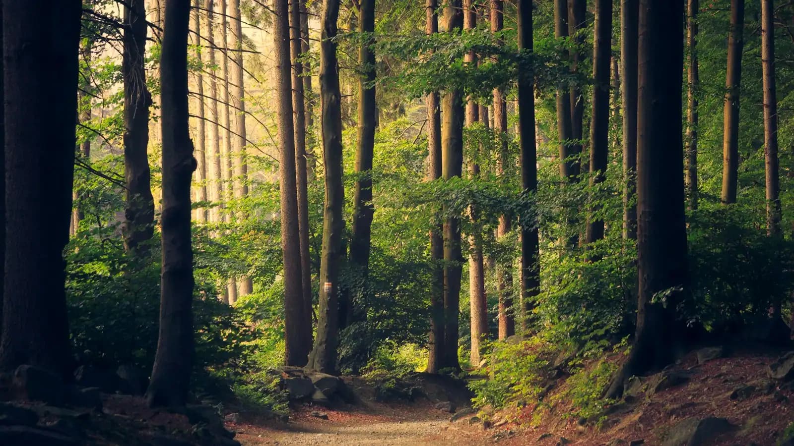
Photo: Joel BradshawPublic domain
Puʻu o Mahuka sits on the bluff above Waimea Bay, and it is the largest heiau on Oʻahu — close to two acres of stacked stone laid out as three walled enclosures, with walls running from roughly three to six feet high. The name is usually given as "hill of escape". It was probably built in the 1600s, it is a National Historic Landmark, and it is a sacred place that Native Hawaiians still use.
That last clause is the one to hold on to. This is not a ruin in the European sense, abandoned and available. A heiau is a temple, and this one was a major one — a luakini, associated in tradition with the highest level of Hawaiian religious practice and with the kāhuna who served the chiefs of this district. Tradition connects it to the kahuna nui Kaʻōpulupulu, and to an incident in 1794 in which members of a British ship's crew were killed at Waimea and, by some accounts, brought here. Offerings are still left at the site by people for whom this is a living practice rather than a photograph.
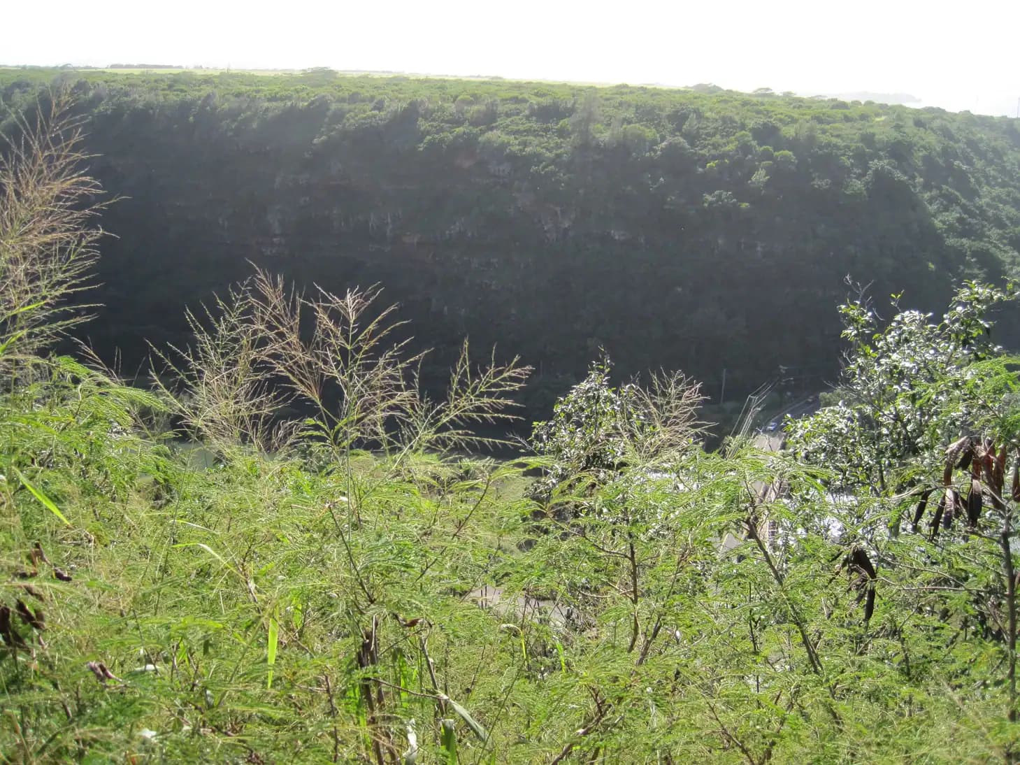
What a visitor sees is deliberately undramatic: a long, low platform of stone on an exposed bluff, marked paths around it, interpretive signs, and a considerable view. From the edge you look down over Waimea Bay, along the reef line towards Haleʻiwa, and on a clear day out to the northwestern tip of the island at Kaʻena. It is the only place on the North Shore where the geography of the whole coast resolves into one picture.
Practically, it is free, it is a State Historic Site with posted gate hours, and it is reached by a narrow climbing road that most rental cars manage and no large vehicle should attempt. It takes twenty minutes to see and it is five minutes from Shark's Cove.
The rules are short. Stay on the marked paths, do not walk on or into the enclosure, do not move stones, and do not leave offerings.
Turn inland off Kamehameha Highway onto Pūpūkea Road at the Foodland junction by Shark's Cove. Climb roughly three-quarters of a mile, then turn right onto the narrow signed lane for the heiau and follow it about half a mile to the parking area at the end.
The lane is single-track paved road with few passing places and no turning space until the top. An ordinary car is fine, driven slowly. Coaches, large campervans and anything you would not want to reverse should not attempt it — which is precisely why this site stays quiet while Waimea Bay below it does not.
From Shark's Cove it is about five minutes; from Waimea Bay, ten. From Waikīkī, allow an hour to the junction and then the climb.
Parking at the top is a small unpaved area with no facilities. Leave nothing visible in the car.
This is a sacred site in current use, administered by Hawaiʻi State Parks and cared for by people with a direct connection to it. The expectations are not onerous and they are not optional.
If you are unsure whether something is acceptable, the safe default is not to do it. Nothing is lost by standing on a path and looking.
A heiau is a Hawaiian temple: a built platform or walled enclosure where ritual was conducted, with structures of wood, thatch and carved images that have not survived. What remains at nearly every heiau in Hawaiʻi is the stonework — which is why the sites read as low walls and terraces to an eye expecting a building.
They were not all the same. Some were agricultural, dedicated to Lono and to rain and growth. Some were for healing, or for fishing. The largest and most consequential were luakini heiau, associated with Kū, the chiefly class and war, where the highest rituals including human sacrifice were performed. Puʻu o Mahuka is generally understood to have been in that category, and its size and position above the bay reflect the status of the district it served.
The layout here is three connected enclosures running along the bluff, the walls built of stacked basalt without mortar. Interpretive signs at the site set out what is known. What is not known is considerable: the heiau system was dismantled in 1819 when the kapu system was formally abolished, and much of the detailed practice associated with individual sites went with it.
The valley below, Waimea, was the seat of the kāhuna who served here. The two places — the temple on the bluff and the settlement in the valley — are one landscape, and it is worth seeing them on the same day.
Access is from Pūpūkea Road, which climbs inland from Kamehameha Highway at the Foodland junction by Shark's Cove.
Allow twenty to thirty minutes at the site itself. The walk from the parking area around the marked paths is short and level but unpaved, with uneven ground in places.
Gate hours are posted at the site and have been given differently by different sources, so treat it as a daylight-hours visit and do not plan on being there at dusk. It is exposed up here: no shade, and wind off the ocean most of the year.
The view is not the reason the heiau is here, but it does explain the choice of site. From the edge of the bluff the whole northwestern arc of the island lays out at once.
Directly below is Waimea Bay, from a height that makes the scale of a winter swell legible in a way it is not from the sand — you can see the sets arriving as lines well offshore. To the left the coast runs southwest past Laniākea and Haleʻiwa, with the reef line visible as a change in water colour, and continues towards Kaʻena Point, the island's northwestern tip, which on a clear day is the furthest thing you can see. Behind and inland, the Koʻolau range.
It is also one of the better places on Oʻahu to watch weather arrive. Rain bands come in off the ocean from the north and you can see them crossing the water twenty minutes before they reach the coast road.
For photography, late afternoon is the light. The bluff faces roughly northwest, so the sun goes down over the water in front of you for much of the year. Gate hours may close the site before sunset, so check rather than assume.
None of this makes it a lookout. The signs, the walls and the offerings are the site; the view is the context.
Operators run these trips past Puʻu o Mahuka, or stop there as part of a longer route. We list what the booking data supports — not everything that mentions the name.
Some links below go to Viator, our booking partner. We earn a commission on bookings made through them — at no extra cost to you, and with no influence on what we recommend.

Plantation Tours
Choose from two exciting ways to experience Oahu's top attractions, scenic beauty, and local culture. Option 1: Dole Plantation & Haleiwa…
6–7 hours
Prices checked

Curated Catalog
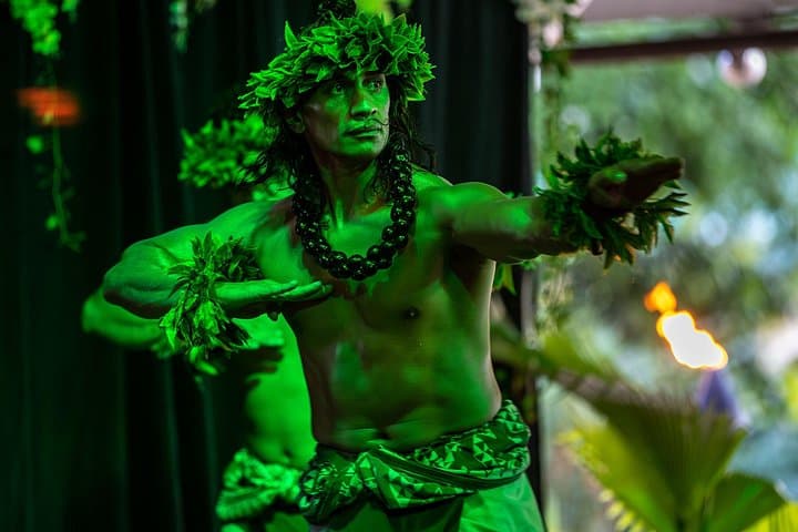
Toa Luau invites you to immerse yourself in the beauty and excitement of Polynesia on Oahu’s historic North Shore! Book any one our 3 Luau…
3 hours
Prices checked
Straight-line distances, so allow more on the road — the island is long and has one main parkway.

Park
A paved three-quarter-mile walk through botanical collections to a waterfall pool you may swim in. Life jacket required, lifeguard's call.
2–3.5 hoursPaid admission, in the mid-twenties per adult at the time of writing, with lower rates for seniors, students and children and discounts for kamaʻāina and military with ID.0.6 mi away

Beach
Flat enough to swim across in July, closed by thirty-foot faces in January. The North Shore's seasonal flip at its most extreme.
1.5–5 hoursFree, including parking. The lot is small and fills early.1 mi away

Beach
The best shore snorkelling on Oʻahu for four months of the year, and one of the most dangerous places on the island for the other four.
1.5–4 hoursFree, with free parking in the beach park lot and along the highway.1 mi away

Beach
Sand underfoot instead of a lava scramble, half the crowd of Shark's Cove, and three flat reef slabs that surface at low tide.
1–3 hoursFree, with free roadside parking and no facilities.1.1 mi away
Where this place fits into a day, and the pages that plan one.

Guide hub
The North Shore is roughly thirty miles of coast along the top edge of Oʻahu, from the polo fields and the airfield at Mokulēʻia, round Kahuku…

Guide hub
The North Shore's named places are almost all natural, almost all free, and almost all strung in a line along one road. There is no historic…

Budget
Most destinations make you hunt for the free things. On the North Shore you have to hunt for the paid ones. There are four ticketed gates on this…

Who it suits
The North Shore is not a romance-package coast and it is better for it. There is one large resort on thirty miles of shoreline, almost no fine…

Things to do
The North Shore's hiking is not the Koʻolau's. There are no green cathedral valleys with a waterfall at the back of them here, no Mānoa Falls queue…

Guide
About the same number of people live along this coast as fill a single Waikīkī hotel block, and several million visitors a year drive past their houses. Most of what follows is about that.
9 min readMalia Fonoti
The largest heiau — Hawaiian temple site — on Oʻahu, sitting on the bluff above Waimea Bay. It covers close to two acres and is laid out as three walled enclosures of stacked basalt with walls roughly three to six feet high. It was probably built in the 1600s and is a National Historic Landmark. The name is usually given as 'hill of escape'. It is a sacred site still used by Native Hawaiians, not an abandoned ruin.
No. Stay on the marked paths around the outside; do not step onto the stone platform or enter the walled enclosures, and do not move or stack stones. Do not leave offerings either — rocks wrapped in ti leaves are not a Hawaiian practice and clearing them creates work for the people who care for the site. If there are genuine offerings at the altar, leave them where they are and keep your distance.
Yes. It is a Hawaiʻi State Historic Site with no entrance fee and no parking charge. There is a gate and posted opening hours, though different sources report them differently, so treat it as a daylight visit and do not plan on arriving at dusk. There are no facilities of any kind at the site — no restrooms, no water, no shade — so bring what you need for a short stop.
No, and that is the main reason the site stays peaceful. The access lane off Pūpūkea Road is about half a mile of single-track paved road with few passing places and no turning space until the parking area at the end. An ordinary car handles it easily driven slowly; a coach or large campervan cannot. If your rental is oversized, park at Shark's Cove and reconsider rather than committing to the lane.
Waimea Bay directly below, from a height that makes the scale of a winter swell obvious — you can watch sets arriving as lines well offshore. The coast runs southwest past Laniākea and Haleʻiwa with the reef line visible as a change in water colour, and on a clear day you can see all the way to Kaʻena Point at the island's northwestern tip. The Koʻolau range sits behind. It is the one place the whole coast resolves into a single view.